Beinn Dubh - Circular Route - Hike Report
| Date: | Mar 17 2024 |
| Ascent: | 747m |
| Distance: | 13.18km |
| Moving Time: | 4:08:11 |
| Total Time: | 5:55:22 |
| GPX File: | Download |
Route Map
Route Elevation Profile
Overall
Beinn Dubh is a fantastic mountain to hike if you’re wanting something relatively close to Glasgow that’s not too difficult or long. In good weather conditions, the views from the hike over Loch Lomond can be fantastic which makes this a great hike for a clear day.
This took our group roughly 6 and a half hours from start to finish going at a fairly leisurely pace. We had a few stops for food and to take in the views, and the incredibly wet terrain made it slightly slower going in parts.
The Starting Point
The hike up Beinn Dubh starts from the village of Luss. You can park up in the large carpark in the village and then head on over the foot bridge over the busy A82. On the house over the bridge, you’ll want to take the kissing gate to the left of the house.
Stage 1 - Through the Fields
Head uphill towards the gate and then follow the path up the hill. The path can be tricky to follow in parts, this might be improved in the summer months when this area is more popular, but if you’ve got low visibility then just be warned that it’s fairly easy to lose the path in parts.
Stage 2 - Towards the Peak
If you’re lucky enough to have good visibility at this point, you’ll have some excellent views of Loch Lomond and over towards Conic Hill behind you. We were unfortunately blessed with the standard visibility one can typically expect on hill days in Scotland, so we didn’t get to see much at all.
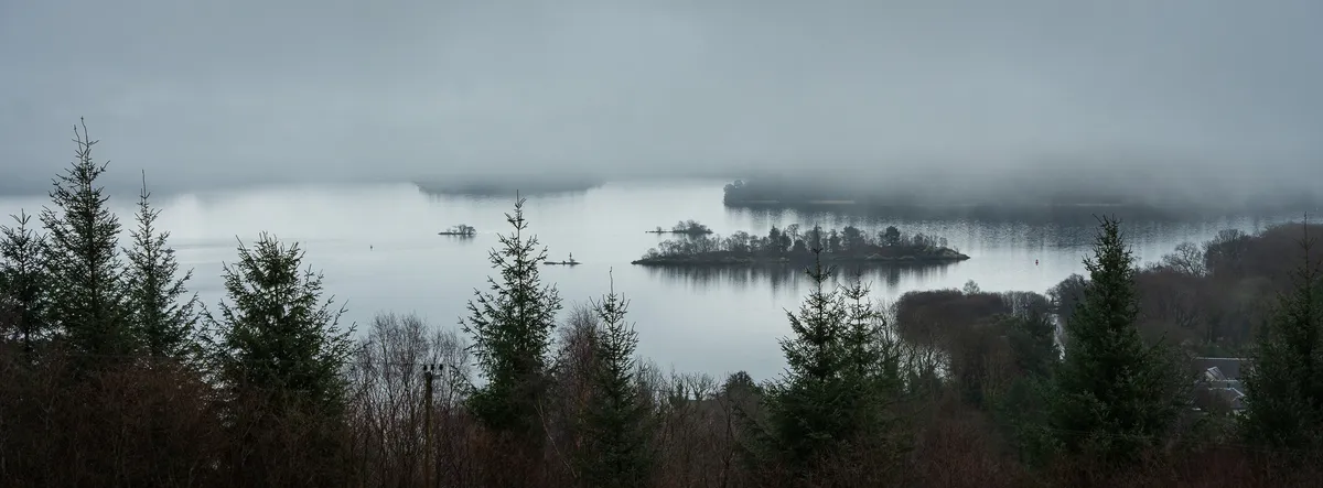
A break in the clouds looking back at Loch Lomond
You’ll eventually meet a fence line and you’ll want to follow this up until you meet a stile situated right next to a handy break in the fence. Go through this and keep following the path until you hit the summit cairn for Beinn Dubh.
Stage 3 - Towards Coire na h-Eanachan
The path then leads straight over the summit of Beinn Dubh and onwards towards Coire na h-Eanachan which is the higher of the two summits. Underfoot can be quite boggy in parts, so be prepared for some wet feet if you are doing this during wetter months.
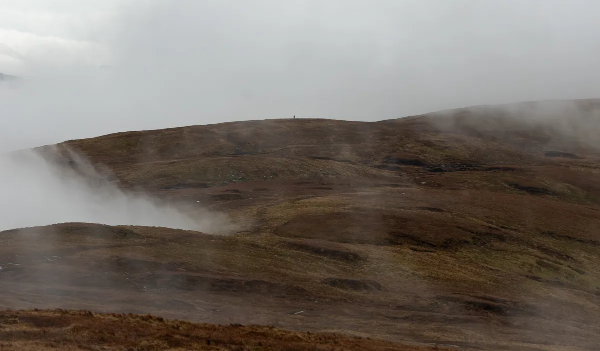
looking back at Beinn Dubh
Stage 4 - The Descent and Back to the Carpark
Boop the summit cairn and then follow the path down and to the left. This section can be a little steeper and slippier, as our friend Alan found out, so be careful on the way down.
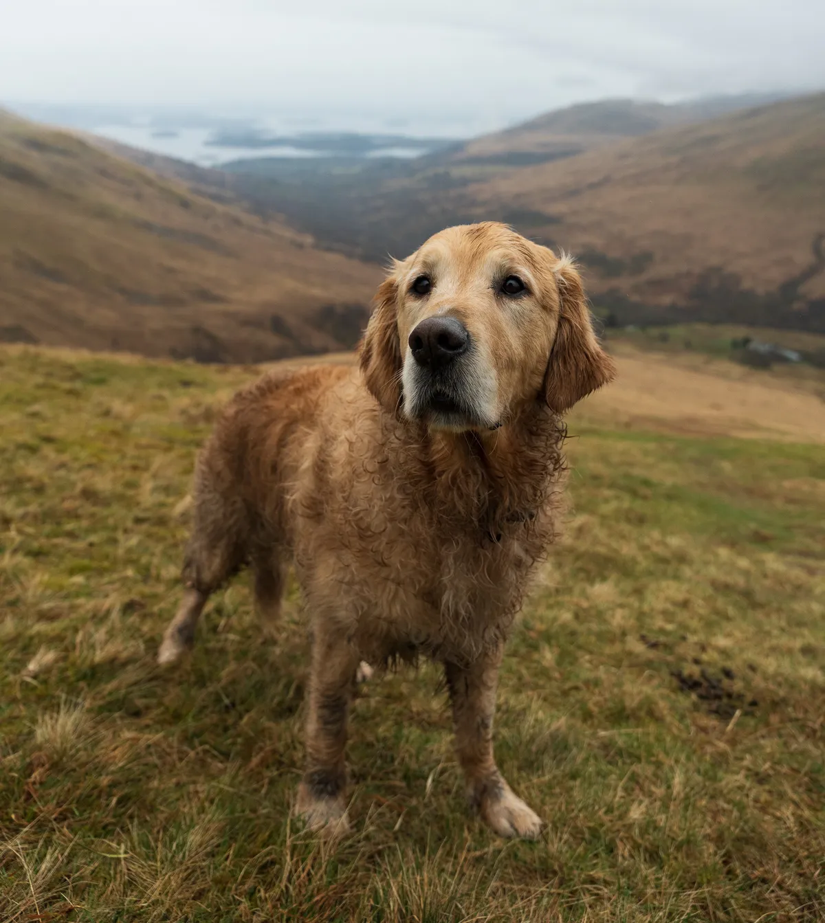
Lewis looking rather wet and wild after hours of rolling in streams
You’ll hopefully be greeted with some views over Loch Lomond and you should be able to make our the road that you’ll be heading back on.
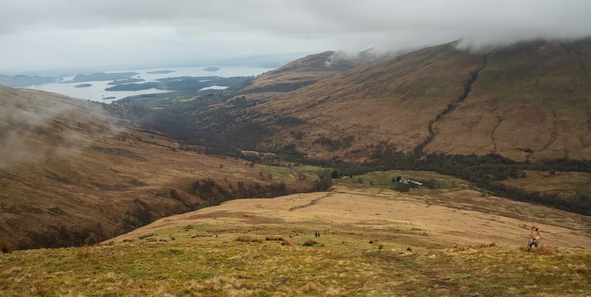
The views started to clear a little on the way down... typical
Once you hit the road, you’ll then be following this back for several kilometers until you meet the house and the foot bridge that you started from.
This section of Glen Luss is quite scenic with lots of waterfalls meeting you at the side of the road. We were walking mid-March which meant the sides of the road were lined with puddles filled with frogspawn!
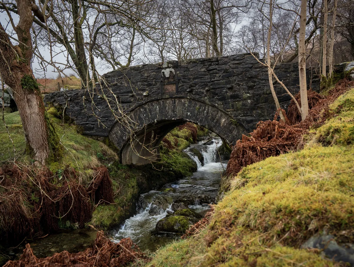
The bridge on the road in Glen Luss